Applied Research
Landsat represents the world’s longest continuously acquired collection of space-based moderate-resolution land remote sensing data.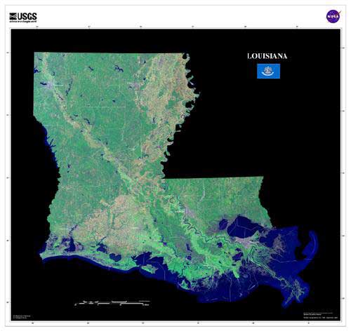
“Landsat sensing is the science and art of obtaining information about an object, area, or phenomenon through the data acquired by a device that is not in contact with the object, area, or phenomenon under investigation.”
Four decades of imagery provides a unique resource for those who work in agriculture, geology, forestry, regional planning, education, mapping, and global change research. As with previous partnerships, this mission continues the 40 year acquisition of high-quality data the meet both NASA and ASGS scientific and operational requirements for observing land use and land change.
