Outreach
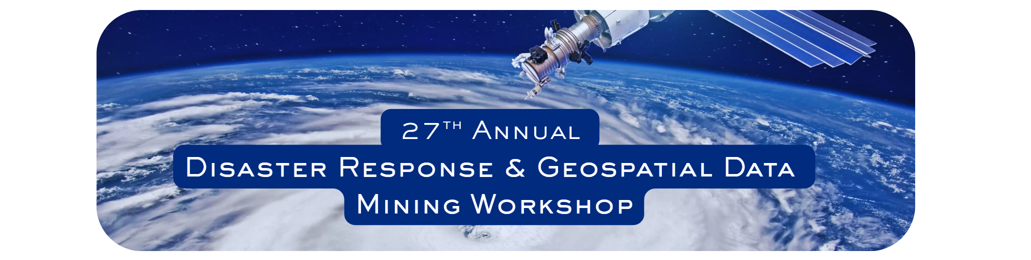 Annual Disaster Response/Data Mining Geospatial Workshop
The RAC and LouisianaView have organized the Annual Disaster Response/Data Mining Geospatial Workshop for 27 years.
The workshop hosts speakers from federal, state, and private response teams and is attended by geospatial emergency responders from around the world. It highlights geospatial data sets for hurricane season preparation, emergency response operations, and ongoing recovery efforts. Presentations will include an overview of the data clearinghouses, applications, and data acquisition processes of federal and state agencies that collect and host geospatial data, as well as updates on operations and planning for the next hurricane season.
Earth Observation Day & GIS Day
Earth Observation Day (EOD) is a Science, Technology, Engineering, Art, and Mathematics (STEAM) education and outreach event sponsored by AmericaView to celebrate Earth observation and remote sensing systems. Earth observations and sophisticated remote sensing technologies, such as the Landsat satellite system, have proven invaluable for assessing the status of and changes in the Earth’s natural and man-made environments.
The University of Louisiana at Lafayette's Geographic Information Program celebrates Earth Day annually. In the past, RAC invited high school students and teachers to visit the GIS research department at Abdalla Hall in Lafayette, Louisiana. These students tour the GIS museum and the Earth as Art Exhibit, which LouisianaView produced to celebrate the years of satellite imagery.
The RAC also participates in GIS Day. GIS Day serves as an international forum for users of geographic information systems (GIS) technology to showcase real-world applications that make a positive impact in our society.
Visit Americaview.org to find out more about Earth Observation Day and GIS Day.
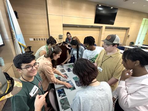
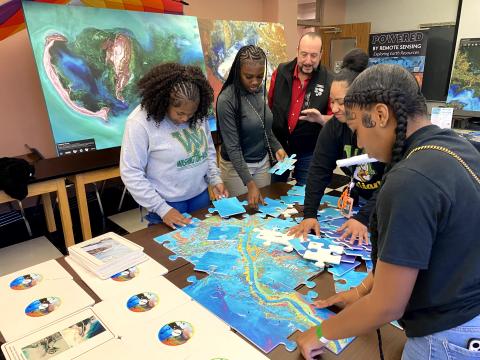
Rising Waters Workshop for 7th - 12th Grade Students
Next Session: Summer of 2027
If you are interested in attending in 2027, please email us.
Who is eligible?
Students interested in pursuing an experience or career in earth science. Applicants should be entering 7th through 12th grade and in good standing with their high school.
Details
- 9:00 am – 3:30 pm
- Lunch is provided
- You must provide your own transportation.
Location is the Regional Application Center in Abdalla Hall, 635 Cajundome Blvd., Lafayette, LA 70506
What is the cost to attend?
The National Science Foundation sponsors the workshop through a grant, so registration is FREE!
What does GEOSERVICE mean?
Geoscience Students Excelling in Real Vital Investigations with Community Engagement.
GEOSERVICE is an earth observation technology used in interdisciplinary projects addressing environmental and public challenges that confront our society and future generations. GEOSERVICE matches industry partners and program participants to better prepare students for careers in geosciences, geology, environmental sciences, coastal studies, natural disaster monitoring, and related fields.
More about the GEOSERVICE Grant
UL Lafayette’s Regional Application Center (RAC), headed by Brent Yantis, has been granted $364,874 by the National Science Foundation (NSF). The RAC specializes in satellite and remotely sensed imagery for developing earth resources applications. It collaborates with NASA and the U.S. Geological Survey agencies to provide the public with data. The grant aims to enhance interest in geosciences, particularly in geographic information systems technology. Thanks to this grant, UL Lafayette’s undergraduate and graduate faculty members will lead a bridge program that will reach out to high school students.
This bridge program aims to cultivate curiosity in STEM professions, particularly in science, technology, engineering, and mathematics. The workshops concentrate on concerns affecting various Louisiana communities and the Gulf Coast. These concerns include coastline subsidence, marsh, and coastline erosion and retreat, and flooding due to tropical storm surges, heavy rainfall events, and sea-level rise. The program also addresses the human aspect of these issues. By participating, students acquire investigation and communication skills to disseminate information to their respective communities on how to address these problems.
What are some career paths in Geosciences?
- Health and Air Quality
- Disaster Response
- Water Resources
- Ecology/Earth Observation
- Urban Development
- Environmental Impact
- Food Security and Agriculture
- Energy
- Transportation and Infrastructure
Learn more about the Rising Waters Summer Workshop for Students.
RAC Team Presents STELLA Summer Workshop (June 2024)

The STELLA (Science and Technology Education for Land/Life Assessment) project uses spectrometers that can be built with low-cost components and 3D printed housings to introduce NASA Earth observation technologies and provide authentic hands-on learning experiences for remote sensing education. STELLA instruments help engage students in the quantitative aspects of satellite data, provide insight into the scientific process, and encourage analytical thinking.
STELLA spectrometers measure energy throughout the visible and infrared portions of the electromagnetic spectrum. These DIY devices can be built with inexpensive and widely available components.(See website for more info.)
Description:
Over the past year, NASA has expanded our understanding of satellite data with STELLA spectrometers. These devices provide an entry point to help better understand the sensors on Landsat satellites, including the electromagnetic spectrum. Through this hands-on device, students can learn about collecting spectral data and creating spectral signatures to help interpret the data while highlighting the importance of Landsat satellite imagery. STELLA is designed as an educational and outreach tool to teach students and the community about Landsat and remote sensing. The Landsat satellite program, including the upcoming Landsat Next, is crucial in these educational initiatives.
To support learning, the Regional Application Center (RAC) team at the University of Louisiana at Lafayette will highlight its Earth observation education outreach summer workshop program. They will demonstrate how STELLA engages students with remote sensing, allowing them to explore key concepts, explain their understanding through practical application, elaborate on their knowledge with real-world data, and evaluate their learning process through hands-on technology.
RAC Team:
Rodney B. Yantis, MLA, RAC Director
Courtney Poirier Chicola, PhD, Undergraduate Coordinator
Undergraduate students: Tiffany Armentor, Grace Blanchard, Kaitlyn Caminita, Meg Chauvin, Joseph Kolb, Bree Landry, John Meaney, Nathaniel Pharis, Billy Poirier, Crystallyn Savoie, Hayden Smith
Landsat Website:
https://landsat.gsfc.nasa.gov/
Link to previous STELLA webinars:
https://landsat.gsfc.nasa.gov/stella/stella-downloads/#webinars
Presentation Link: https://www.youtube.com/watch?v=3218dq988do
STELLA Website: https://landsat.gsfc.nasa.gov/stella/
GitHub Forum: https://github.com/STELLA-Landsat/STELLA/discussions