27th Annual Disaster Response and Data Mining Geospatial Workshop
26th Annual Disaster Response/Data Mining Geospatial Workshop was June 4–5, 2026.
Hosted by the Regional Application Center (RAC) at the University of Louisiana at Lafayette, this annual event has become a cornerstone for professionals in geospatial science, emergency management, and public service. For over two decades, the workshop has united experts and decision-makers to explore the powerful intersection of geospatial data and disaster preparedness, response, and recovery.
Workshop Agenda
Thursday, June 4
A full day of expert presentations and networking opportunities
9:00 am – 5:00 pm | Louisiana Immersive Technologies Enterprise (LITE) 537 Cajundome Blvd, Lafayette, LA
Friday, June 5
GIS Training Session
9:00 am – 12:00 pm | Abdalla Hall, 635 Cajundome Blvd. Lafayette, LA
A full-day workshop featuring dynamic speakers and networking opportunities.
Featured topics include:
- Coordinating geospatial response during hurricanes and wildfires
- Data clearinghouses, applications, and acquisition systems
- Best practices from federal and state emergency response agencies
- Cross-organizational and regional collaboration strategies
- Lunch will be provided.
Registration Required
Register now to secure your spot. Lunch is included on Thursday.
In-person registration closes today, June 1, at 5:00 PM.
Virtual registration closes at 7:00 AM on Thursday, June 4. Note: This is an in-person event, but Zoom access is available for registered attendees. Meeting links will be sent ahead of the event.
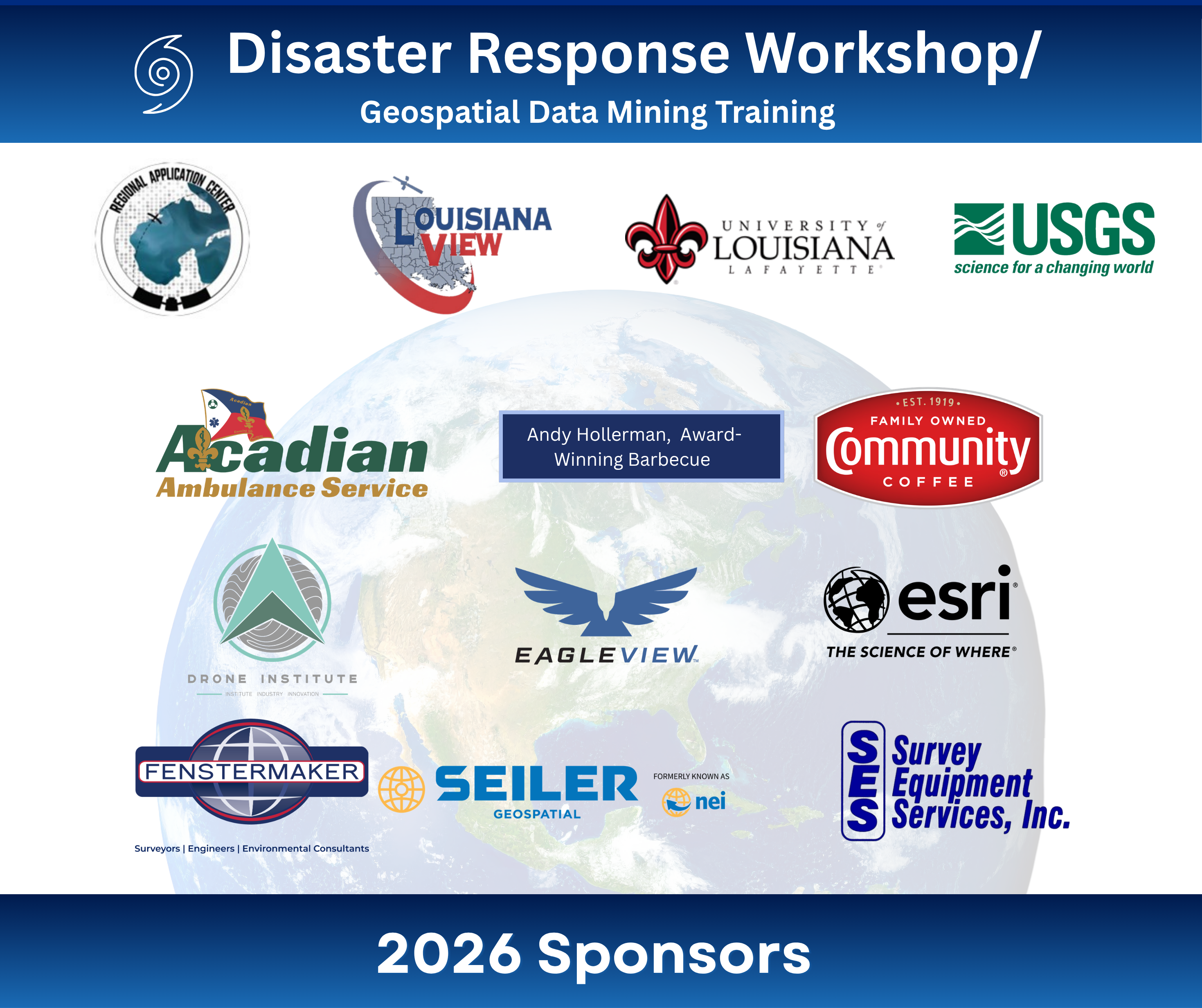
Proudly Sponsored By:
The Regional Application Center (RAC) supports emergency response, coastal restoration, agriculture, and industry by distributing satellite and remote sensing data to the public, military, and research partners. In addition to data services, RAC offers professional workshops, academic courses, certifications, and the traveling “Earth as Art” exhibit, showcasing the natural beauty of our planet through satellite imagery.
