Regional Application Center
The University of Louisiana at Lafayette's Regional Application Center, established in 1997, collects and distributes satellite and remote sensing imagery. This information is available to the public, military, government agencies, and other research centers. Our research and data are crucial in emergency response, coastal restoration, transportation, industry, and agriculture. We also provide workshops, certifications, academic courses, and a traveling exhibit called Earth as Art, which displays the stunning beauty of our planet.
Discover more about us and our contributions to education and research.
Follow @RACLafayette


![]()

If you have any questions, don't hesitate to contact us.
2026 Disaster Response/Geospatial Data Mining Workshop - June 4-5, 2026
- Megan Williams & David Schlotzhauer, NWS New Orleans & Lake Charles Offices
- Mike Budde, USGS EROS & International Charter
- Dan Opstal, USGS NLI
- Ronan Lucey, NASA MSFC
- Kurtis Nelson, USGS Fire Science Team
- Jenny Hewson, NASA’s Land, Atmosphere Near real-time Capability for Earth Observations
- George Femmer, Drone Institute
- Jason Carr, LA DOTD
- Maik Flanagin & Jason Granados-Barrios, USACE
- Hazem Mahmoud, NASA’s Atmospheric Science Data Center (ASDC)
The event is hosted by the Regional Application Center at UL Lafayette.
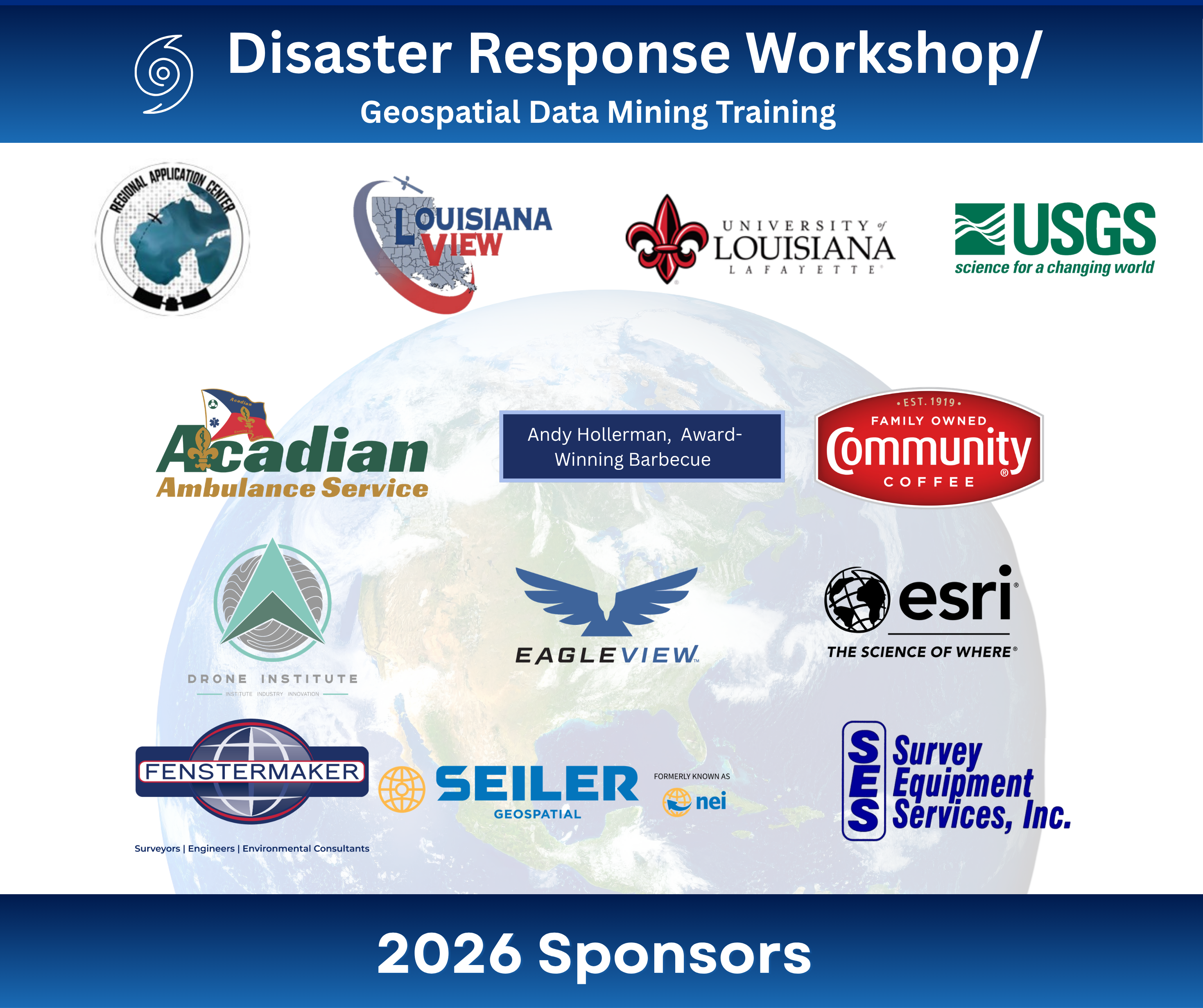
Thank you, Sponsors!
- Acadian Ambulance
- Andy Hollerman, PhD, Award-winning Barbecue Brisket
- Community Coffee
- Drone Institute
- EagleView
- Esri
- Fenstermaker
- LouisianaView
- Seiler Geospatial
- Survey Equipment Services, Inc.
- University of Louisiana at Lafayette
- USGS
► Agenda
► Learn more about sponsoring the event

LouisianaView
The RAC oversees the LouisianaView program and is part of the AmericaView network. This network unites academic, agency, non-profit, and industry partners to encourage the use of remote sensing data and technology across several states. Visit the LouisianaView website.

The LouisianaView program was established in 2002 to create a consortium within the state that promotes the use of remotely sensed and GIS data. The consortium has facilitated research, data dissemination, education, outreach, and technology transfer, leveraging federal and private investment in remote sensing instruments.
Follow @Louisianaview


 Did You Know?
According to AmericaView, the thought of observing the Earth began when astronauts brought back photos with handheld cameras. The curiosity about the Earth from space was the beginning of the Landsat Program. The Landsat 1 satellite was launched on July 23, 1972, to observe the Earth's natural resources and landmasses.
