The workshop hosts speakers from federal, state, and private response teams and is attended by geospatial emergency responders from around the world. It highlights geospatial data sets for hurricane season preparation, emergency response operations, and ongoing recovery efforts. Presentations will include an overview of the data clearinghouses, applications, and data acquisition processes of federal and state agencies that collect and host geospatial data, as well as updates on operations and planning for the next hurricane season.
Hosted by the Regional Application Center at the University of Louisiana at Lafayette and LouisianaView
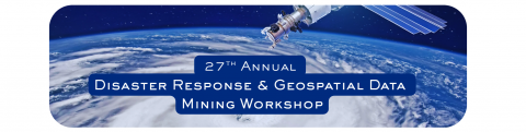
View the flyer
(View the Presentation Recording)
Confirmed Speakers:
-
Megan Williams & David Schlotzhauer, NWS New Orleans & Lake Charles Offices
-
Mike Budde, USGS EROS & International Charter
-
Dan Opstal, USGS NLI
-
Ronan Lucey, NASA MSFC
-
Kurtis Nelson, USGS Fire Science Team
-
Jenny Hewson, NASA’s Land, Atmosphere Near real-time Capability for Earth Observations
-
George Femmer, Drone Institute
-
Jason Carr, LA DOTD
-
Maik Flanagin & Jason Granados-Barrios, USACE
-
Hazem Mahmoud, NASA’s Atmospheric Science Data Center (ASDC)
Agenda
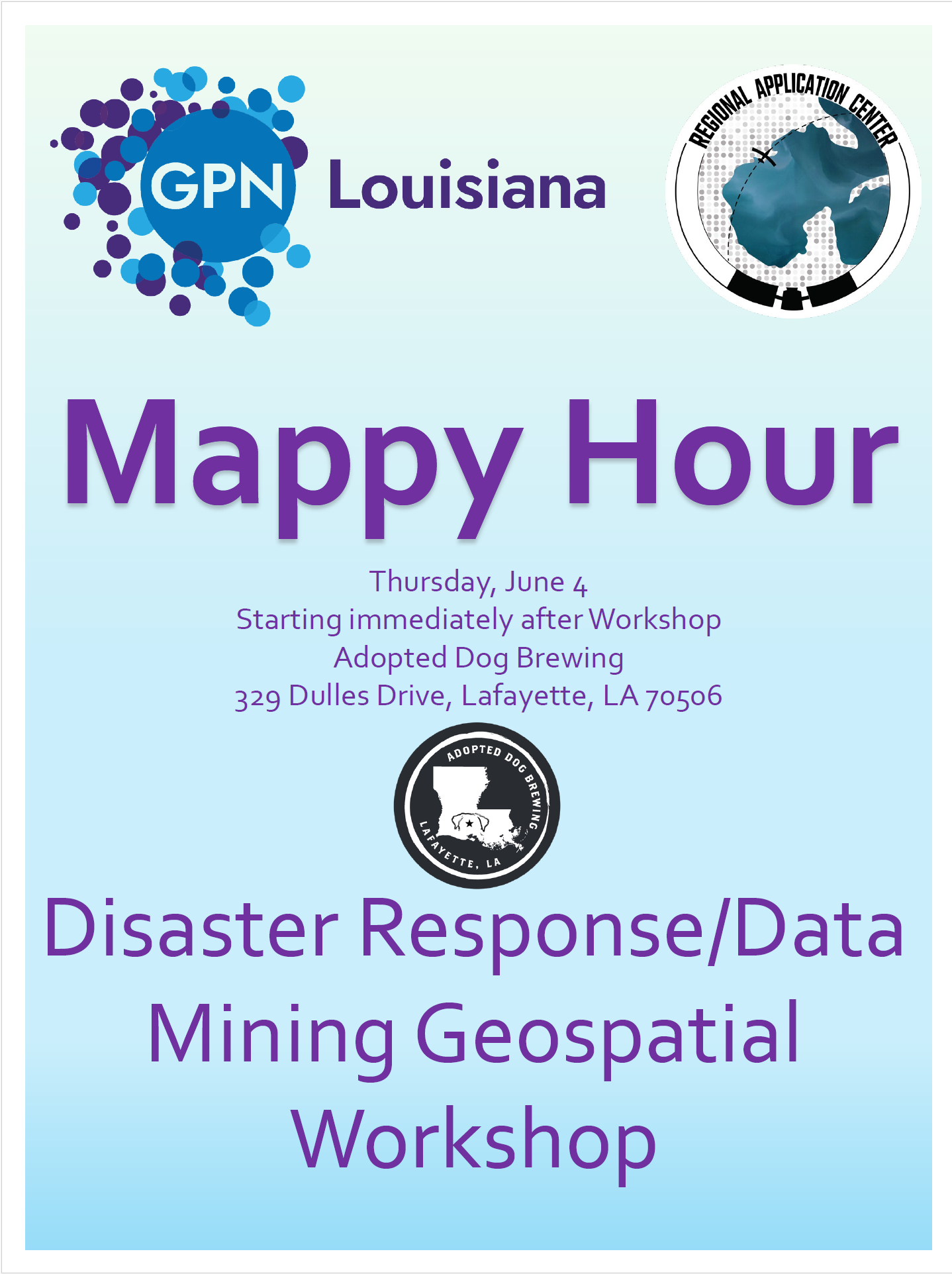
Thursday, June 4
Full Day Workshop | 9:00 am – 5:00 pm
Louisiana Immersive Technologies Enterprise
(LITE) 537 Cajundome Blvd, Lafayette, LA
Friday, June 5
GIS Training Session | 9:00 am – 12:00 pm
Abdalla Hall, 635 Cajundome Blvd. Lafayette, LA
The event is hosted by the Regional Application Center at UL Lafayette.
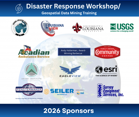
Thank you, Sponsors!
-
Acadian Ambulance
-
Andy Hollerman, PhD, Award-winning Barbecue Brisket
-
Community Coffee
-
Drone Institute
-
EagleView
-
Esri
-
Fenstermaker
-
LouisianaView
-
Seiler Geospatial
-
Survey Equipment Services, Inc.
-
University of Louisiana at Lafayette
-
USGS
Registration is required:
Cost: Complimentary admission for both days, and lunch will be provided on Thursday.
Format: In-person and online via Zoom (Registered attendees will receive meeting links before the workshop.)
Registration Link - https://arcg.is/0SyTHS1 or scan the code.

Sponsorship Opportunities are available now!
For more information, contact Rodney Yantis (yantis@louisiana.edu) or Courtney Poirier Chicola (chicola@louisiana.edu).
Enable GingerCannot connect to Ginger Check your internet connection
or reload the browserDisable Ginger?How to use GingerRephraseRephrase with Ginger (Ctrl+Alt+E)Edit in Ginger
Enable GingerCannot connect to Ginger Check your internet connection
or reload the browserDisable Ginger?How to use GingerRephraseRephrase with Ginger (Ctrl+Alt+E)Edit in Ginger
Enable GingerCannot connect to Ginger Check your internet connection
or reload the browserDisable Ginger?How to use GingerRephraseRephrase with Ginger (Ctrl+Alt+E)Edit in Ginger
Enable GingerCannot connect to Ginger Check your internet connection
or reload the browserDisable Ginger?How to use GingerRephraseRephrase with Ginger (Ctrl+Alt+E)Edit in Ginger
Enable GingerCannot connect to Ginger Check your internet connection
or reload the browserDisable Ginger?How to use GingerRephraseRephrase with Ginger (Ctrl+Alt+E)Edit in Ginger
Enable GingerCannot connect to Ginger Check your internet connection
or reload the browserDisable Ginger?How to use GingerRephraseRephrase with Ginger (Ctrl+Alt+E)Edit in Ginger
Enable GingerCannot connect to Ginger Check your internet connection
or reload the browserDisable Ginger?How to use GingerRephraseRephrase with Ginger (Ctrl+Alt+E)Edit in Ginger
Enable GingerCannot connect to Ginger Check your internet connection
or reload the browserDisable Ginger?How to use GingerRephraseRephrase with Ginger (Ctrl+Alt+E)Edit in Ginger
Enable GingerCannot connect to Ginger Check your internet connection
or reload the browserDisable Ginger?How to use GingerRephraseRephrase with Ginger (Ctrl+Alt+E)Edit in Ginger