2026 Disaster Response/Geospatial Data Mining Workshop
The Regional Application Center/LouisianaView at the University of Louisiana at Lafayette is proud to host this cornerstone event for professionals in geospatial science, emergency management, and public service. This workshop bridges theory and practice, emphasizing skills that matter when time and accuracy are critical.
June 4-5, 2026
LITE Center Auditorium
History of the Workshop
In 1999, the workshop started as a way to create a network of federal, state and private agencies to network before a disaster and learn more about what types of data each agency could provide. The workshop unites experts and decision-makers to explore the powerful intersection of geospatial data and disaster preparedness, response, and recovery.
Please join us!
Confirmed Speakers
- Megan Williams & David Schlotzhauer, NWS New Orleans & Lake Charles Offices
- Mike Budde, USGS EROS & International Charter
- Dan Opstal, USGS NLI
- Ronan Lucey, NASA MSFC
- Kurtis Nelson, USGS Fire Science Team
- Jenny Hewson, NASA’s Land, Atmosphere Near real-time Capability for Earth Observations
- George Femmer, Drone Institute
- Jason Carr, LA DOTD
- Maik Flanagin & Jason Granados-Barrios, USACE
- Hazem Mahmoud, NASA’s Atmospheric Science Data Center (ASDC)
Agenda (View Agenda)
Thursday, June 4
Full Day Workshop | 9:00 am – 5:00 pm
Louisiana Immersive Technologies Enterprise
(LITE) 537 Cajundome Blvd, Lafayette, LA
Friday, June 5
GIS Training Session | 9:00 am – 12:00 pm
Abdalla Hall, 635 Cajundome Blvd. Lafayette, LA
Audience
- Emergency managers and planners
- Educators and students
- GIS professionals and volunteers supporting disaster response
Sponsorship Opportunities are available now!
The event is hosted by the Regional Application Center at UL Lafayette.
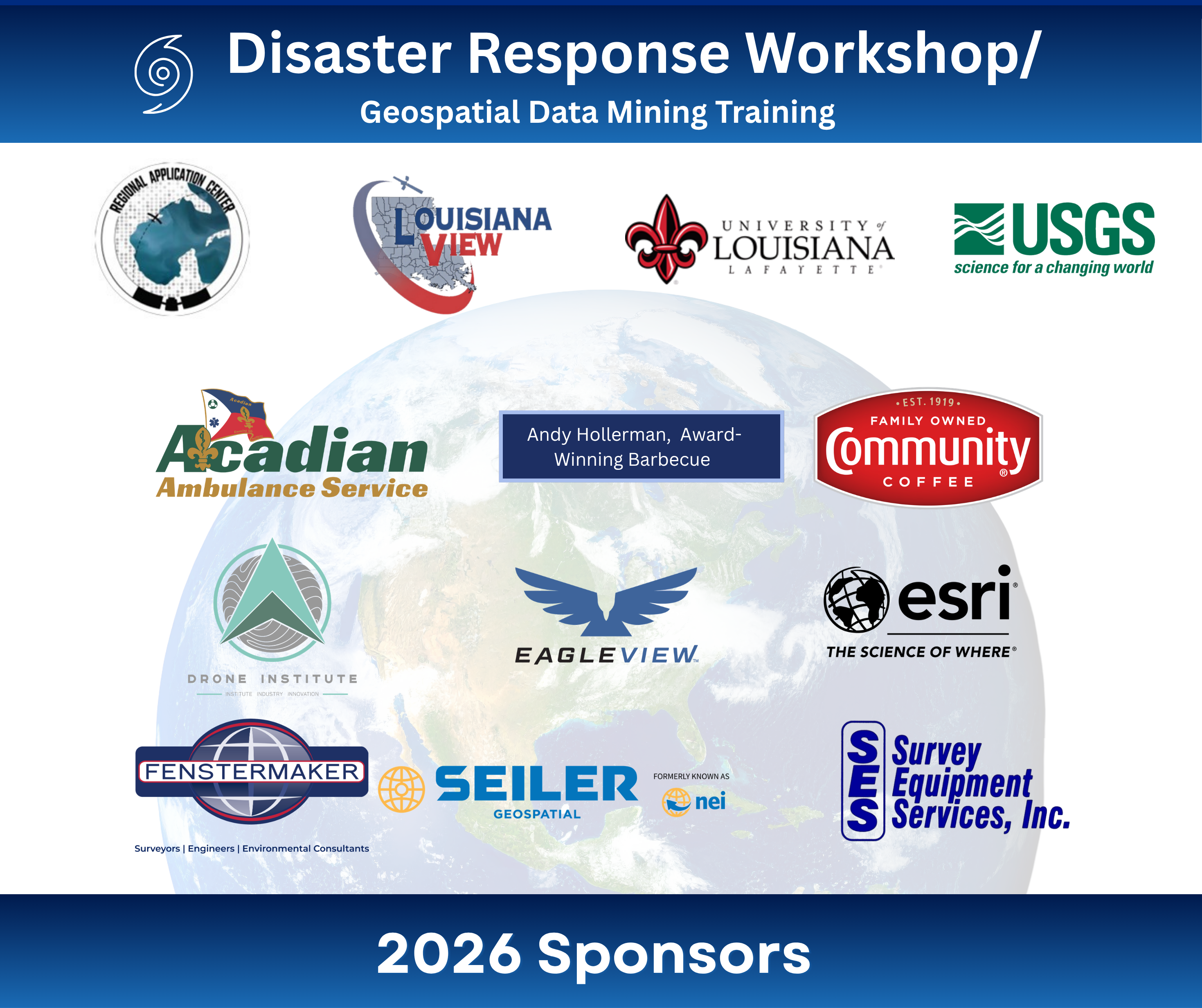
Thank you, Sponsors!
- Acadian Ambulance
- Andy Hollerman, PhD, Award-winning Barbecue Brisket
- Community Coffee
- Drone Institute
- EagleView
- Esri
- Fenstermaker
- LouisianaView
- Seiler Geospatial
- Survey Equipment Services
- University of Louisiana at Lafayette
- USGS
Registration is required!
Cost: Admission is complimentary, and lunch will be provided on Thursday.
Registration Updates!
In-person registration closed on June 1.
Virtual registration closes at 7:00 AM on Thursday, June 4.
Format: In-person and online via Zoom (Registered attendees will receive meeting links before the workshop.)
Registration Link: https://arcg.is/0SyTHS1 or scan the code.

Contact Us
For more information, contact Rodney Yantis (yantis@louisiana.edu) or Courtney Poirier Chicola (chicola@louisiana.edu).
View Sponsor Form
View Photo Gallery
